How to Use Cloud Cover Forecasts to Predict Aurora Visibility in Iceland?
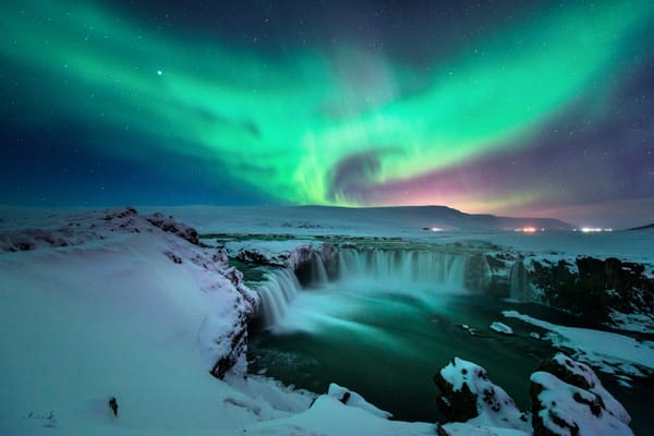
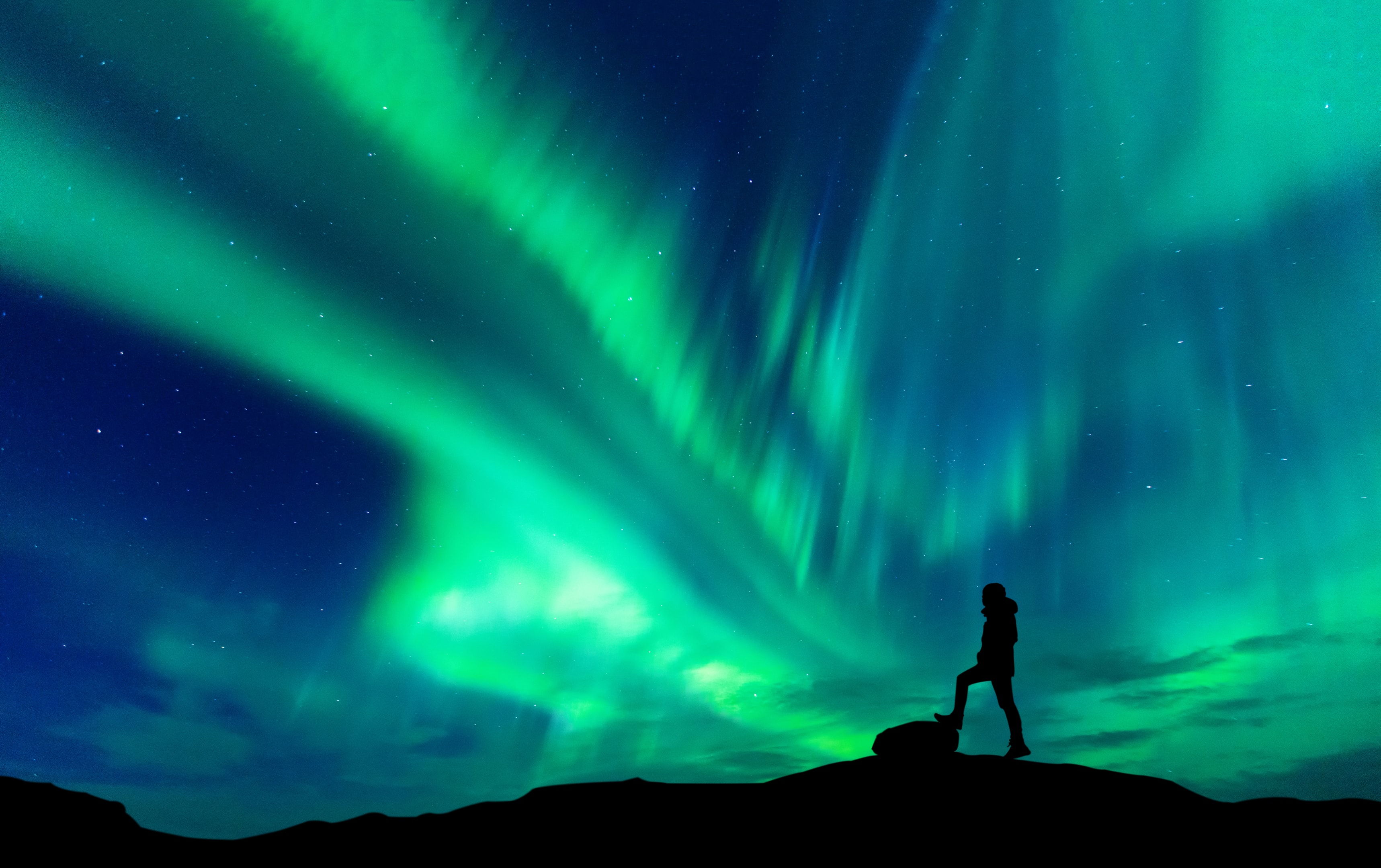
Auroras are part of space weather, but whether you catch a glimpse of them in Iceland depends on the sky right above you. Even with strong solar activity creating brilliant northern lights high over the country, a single layer of low clouds can block the entire show from view. For travelers hoping to see the aurora, cloud cover forecasts are just as crucial as aurora forecasts.
In Iceland, cloud systems move fast across mountains, fjords, and open coastlines. One valley might be completely overcast, while the next headland is already clear. Understanding this dynamic takes practice, but once you know how to read cloud maps, wind forecasts, and local geography, it becomes much easier to predict where the skies might clear up.
This article walks you through how to use cloud cover forecasts in a simple, practical way. It blends scientific explanations with local insights to help you interpret the maps, understand how microclimates work, and see how curated routes can turn complex data into a seamless aurora-viewing experience.
Why Cloud Cover Matters More Than Many People Expect?
Northern lights form high above the weather, in a region where magnetic fields direct charged particles from the sun into Earth's atmosphere. Up there, clouds don’t exist. But from the ground, the view depends entirely on atmospheric conditions.
Three simple truths define every viewing night in Iceland:
- Auroras can still be active even if no one sees them, due to heavy cloud cover.
- A brief break in an otherwise cloudy sky can be enough to catch an unforgettable display.
- The best viewing nights often come from analyzing cloud patterns, not just chasing the highest aurora forecast.
That’s why cloud cover forecasts aren’t just a minor detail—they’re the lens through which every aurora is either revealed or concealed.
A Brief Look at the Science of Clouds and Auroras
Auroras occur roughly between 56 and 93 miles above the surface, where charged particles collide with oxygen and nitrogen. The color and intensity of the light depend on the energy of these particles and the type of gas they meet.
Clouds, in contrast, form in the lower atmosphere, well below that altitude. They are made from condensed water droplets or ice crystals. The key for aurora visibility is simple:
- Thin high cloud: Often acceptable, as auroras can shine through.
- Broken mid-level cloud: Often workable, especially if there are gaps.
- Thick low cloud and fog: Usually blocks the view almost completely.
Because these features sit at very different altitudes, aurora forecasts and cloud forecasts are independent. You need both for a realistic picture of the night ahead.
Understanding the Main Cloud Layers on Forecast Maps
Most Icelandic forecast tools show three layers of cloud cover. Learning to read each layer separately is one of the most useful skills you can develop before heading out at night.
Low clouds
This layer sits closest to the ground and has the strongest impact on visibility. Low clouds often appear as solid, heavy shading on cloud maps. When this layer is thick, it rarely allows the aurora to show through.
Typical situations for low clouds in Iceland:
- Mild, moist air moving over colder ground
- Coastal fog forming in calm conditions
- Cloud banks that build up along mountains or fjords
If a region is fully covered by dense low clouds on the forecast, it is usually wise to look for another area with less coverage.
Mid-level clouds
Mid-level clouds exist higher in the atmosphere and often change more quickly. On forecasts, they may appear patchy or thinner in some zones. The aurora can often shine between these patches, especially if the layer is not dense.
High clouds
These clouds are thin and wispy and sit at the highest forecast level. In many cases, they only dim the stars without completely hiding them. A sky with only high clouds is often perfectly acceptable for aurora viewing.
When you read a cloud map, looking at each layer in turn helps you see where the real obstructions are and where the sky might still open up.
Forecast Tools That Help You Read the Icelandic Sky
Several online tools help aurora travelers in Iceland. The most useful ones focus on cloud cover, wind, and precipitation.
Key elements to look for:
- Cloud layer maps from the national weather office, broken down into low, mid, and high levels
- Satellite imagery that shows the movement of cloud systems over the past few hours
- Wind forecasts that indicate where cloud banks are likely to move
- Precipitation radar that identifies solid weather systems associated with thicker clouds
The specific names of these tools may differ, but the principles are the same. You’re looking for areas with broken or thin low clouds, where wind patterns suggest clearing skies, and where recent satellite loops show trends of improvement rather than worsening conditions.
Step by Step Guide to Reading a Cloud Cover Map
A cloud map can feel overwhelming at first, but breaking it down into manageable steps makes it easier to interpret.
- Start with the time slider: Check several timeframes throughout the evening, not just one fixed hour. This shows whether clouds are arriving, breaking up, or clearing out.
- Look at low clouds first: Identify where heavy low clouds are persistent. These areas are the least promising for aurora visibility, so you can rule them out for the night.
- Move to mid-level clouds: Look for areas where mid-level clouds are thin, scattered, or decreasing. Even if the map isn't completely clear, these zones might still offer decent visibility.
- Check high clouds last: If only high clouds are present, the sky is often clear enough. Mark these locations as favourable.
- Watch the overall movement: Note if the shaded areas are drifting in a specific direction between time steps. This reveals the weather system's path.
- Match movement with geography: Compare the forecast to a map of Iceland. Determine where the clouds are coming from and which areas might see breaks in coverage first.
This systematic approach helps you build a dynamic understanding of the night's weather. Instead of just hoping the forecast improves, you can strategically position yourself where conditions are likely to clear.
Icelandic Microclimates and Why They Matter
Forecast maps are drawn at a large scale. Iceland itself isn't large, but its varied landscapes create many microclimates. These small-scale weather zones often behave differently from the general forecast.
Examples of common microclimate effects:
- Coastal strips that clear faster than inland regions as wind pushes clouds away from the sea
- Valleys where low fog forms while nearby ridges remain clear
- Geothermal areas where warm rising air thins local cloud layers
- Peninsulas such as Snæfellsnes where weather can clear shortly after a front passes
These patterns don't always appear clearly on forecast maps. This is one reason why local knowledge is so valuable. A guide who has watched the same region through many winters learns how certain winds, temperatures, and map patterns usually play out on the ground.
For travelers planning on their own, a practical approach is to choose viewing areas with a wide horizon and more than one route option. If low clouds settle over the first viewpoint, a short drive to another region with a slightly different exposure can reveal clearer skies.
How Wind Direction Helps You Anticipate Clearings?

Wind is one of the quieter signals in a forecast, yet it has a major influence on cloud behavior. The direction of the wind can indicate where clouds are coming from and where they might clear first. For instance, a northerly wind might push cloud systems southward, revealing clear skies on the northern horizon earlier. Moderate wind speeds can also help to break up low cloud cover. However, it's worth noting that very strong winds can make for an uncomfortable viewing experience, even if the sky is clear.
In some regions, local geography like mountains and fjords shapes wind effects. This can cause clouds to gather in one valley while a nearby coastline experiences steady clearing.
When you read a forecast, pay attention to the wind arrows alongside the cloud layers. Visualizing how those arrows will push the shaded areas across the landscape can give you an advantage in choosing the best viewing spot.
Bringing Solar Forecasts and Cloud Forecasts Together
Aurora forecasts can be tricky on their own. High activity levels don't guarantee a visible display if the skies are overcast. On the other hand, even low solar activity can create stunning auroras under Iceland’s clear night skies.
To make the most of both types of forecasts:
- Check the geomagnetic activity level for the evening. Moderate activity levels are usually enough in Iceland, thanks to its northern location.
- Look at the timing of the predicted activity. If the peak coincides with a forecasted break in the clouds, that time frame is especially promising.
- Consider how long the active period is expected to last. A wider time window gives you a better chance to catch the lights during brief clearings.
- Prioritize cloud cover over minor differences in activity levels. Clear skies with average activity are almost always better than heavy clouds during a high aurora forecast.
This balanced approach can help you set realistic expectations and avoid disappointment, making for a more enjoyable night.
A Curated Approach to Cloud and Aurora Forecasts
For many travelers, spending hours tracking cloud maps, satellite loops, and wind forecasts can quickly become exhausting. A curated experience takes the hassle out of the process by replacing it with a clear and simple plan.
A well-designed aurora evening in Iceland typically includes:
- Multiple potential viewing spots, selected based on varying wind directions and cloud patterns.
- A flexible route that can be adjusted in real time when clearer skies are spotted nearby.
- Scheduled breaks in warm, comfortable locations while guides reassess the conditions.
- Transparent communication about what the data indicates and what’s realistically possible that night.
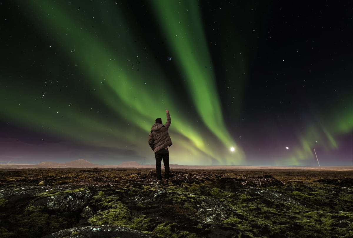
This approach doesn’t guarantee northern lights on every trip—no one can promise that. What it does guarantee is a smart, professional response to the conditions at hand, using the best available information to maximize your chances.
Northern Lights Tour with Lagoon Soak and Icelandic Tasting
The Iceland Tour Company offers an evening tour designed around both sky conditions and traveler comfort. Departing from Reykjavík, the route is carefully chosen each night based on cloud cover and weather patterns.
The first major stop is Laugarás Lagoon, a serene geothermal pool tucked away from the busiest tourist spots. Here, you can relax in warm, tranquil waters while the guides monitor cloud movements and aurora forecasts. If the sky clears, the lagoon’s reflections create a peaceful, magical atmosphere. If the clouds are still shifting, this stop offers a chance to recharge while the route is adjusted.
Next, the tour continues to the Caves of Laugarvatn, where you’ll enjoy an Icelandic tasting by the fire. Local flavors, warm drinks, and a cozy setting provide a grounded balance to the vast open sky outside. During this time, the team keeps track of the latest data on cloud cover, wind, and solar activity to determine the best spot for viewing the auroras later in the evening.
If the conditions are right, the northern lights may appear over the valley, far from city lights and away from larger tour groups. This blend of cloud-based planning and a relaxed pace transforms a night of unpredictable forecasts into a seamless, well-curated experience. A private version of the tour is also available for those who prefer a more personalized experience.
Practical Checklist For Using Cloud Cover Forecasts Yourself
If you want to use cloud cover forecasts during your trip to Iceland, this simple checklist can help you stay organized and calm.
- Check the forecast several times during the day, not just once in the evening. Look for trends rather than single data points.
- Focus on low cloud coverage first, then mid-level, then high.
- Use the time slider on forecast maps to see where clouds are clearing or thickening.
- Watch satellite images to confirm the real movement of systems over the last few hours.
- Note the wind direction and imagine how it will push the clouds over your chosen region.
- Be ready to adjust your route—even by an hour of driving—if another area consistently shows better openings.
- Choose viewing spots with wide horizons and limited artificial light.
- Manage your expectations so that even a short break in the clouds feels like a win.
This approach turns the uncertain forecast into a practical tool you can use to plan your evening with more confidence.
FAQs
Do full moon nights affect visibility in Iceland?
A full moon adds natural light, reducing contrast and making northern lights hunt moments harder. Choosing areas with less light pollution and the best locations away from city glow improves visibility. When the sky opens, you may still catch the natural light show and see northern lights dancing.
How do cloud cover forecasts help predict aurora borealis visibility?
A weather forecast showing predicted cloud cover is essential for understanding when auroras form. Even strong aurora activity cannot shine through thick clouds, so partly clear skies are ideal. In the northern hemisphere, dark skies during the northern lights season from late August through the winter months allow solar particles from the sun to interact with the upper atmosphere and create a natural light show.
What forecast data should I check before a northern lights hunt?
Use three forecasts together for better accuracy: cloud cover maps, auroral activity indicators, and KP index levels. The Icelandic Meteorological Office provides forecast in Iceland tools, green areas for aurora strength, and sat pictures showing white colour cloud blocks. Combining all the maps is one magic trick that improves your future hunts.
Can I use solar wind conditions to predict northern lights dancing?
Yes. Forecast sites track solar wind conditions, coronal holes, and the interplanetary magnetic field. When these align, openings form in the night sky, increasing auroral activity. Even a little trick like checking following pictures of x mountain or Thingvellir National Park can show if a great location is clearing.
Conclusion
Cloud cover forecasts are one of the most valuable tools for anyone hoping to see the northern lights in Iceland. While they cannot eliminate the natural unpredictability of solar activity, they give travelers a practical way to adapt their plans based on real-time sky conditions. By learning how cloud layers work, following wind patterns, understanding regional microclimates, and pairing these insights with aurora forecasts, you significantly increase your chances of experiencing a clear view of the night sky.
A curated experience brings all of this expertise together effortlessly. An evening that blends a warm soak in a lagoon, a taste of Icelandic cuisine, and flexible countryside routing removes the stress of analyzing charts and maps on your own. Instead of chasing forecasts, you simply enjoy the moment when the clouds part and the sky lights up with color.
For travelers seeking a seamless, expertly guided northern lights journey, Iceland Tour Co. offers thoughtfully designed experiences.